


Getting to know the community of Mishkeegogamang Ontario
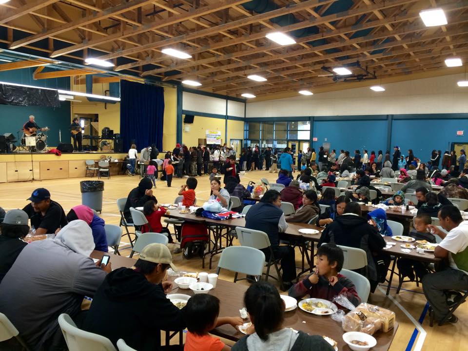
Getting to know the community of Mishkeegogamang Ontario. The following is a page dedicated to getting to know the community. It contains article, pictures and link to videos about the community. Enjoy.
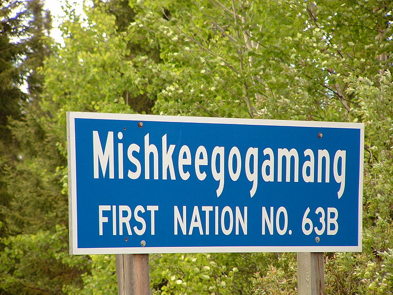
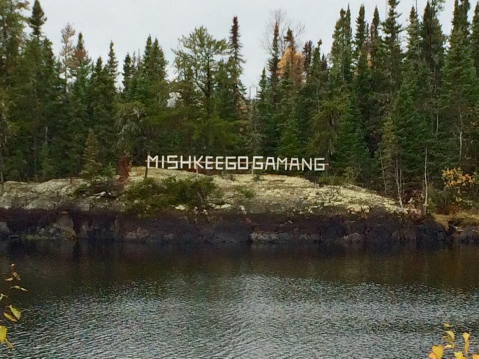
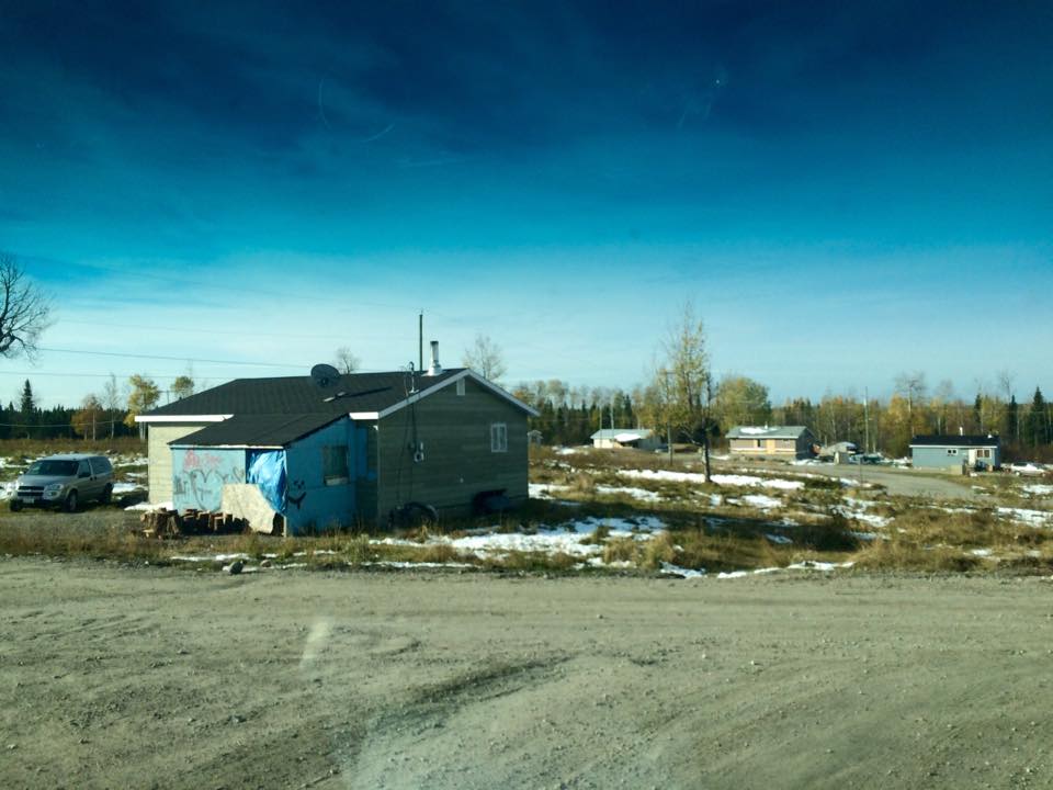
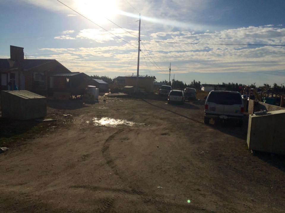
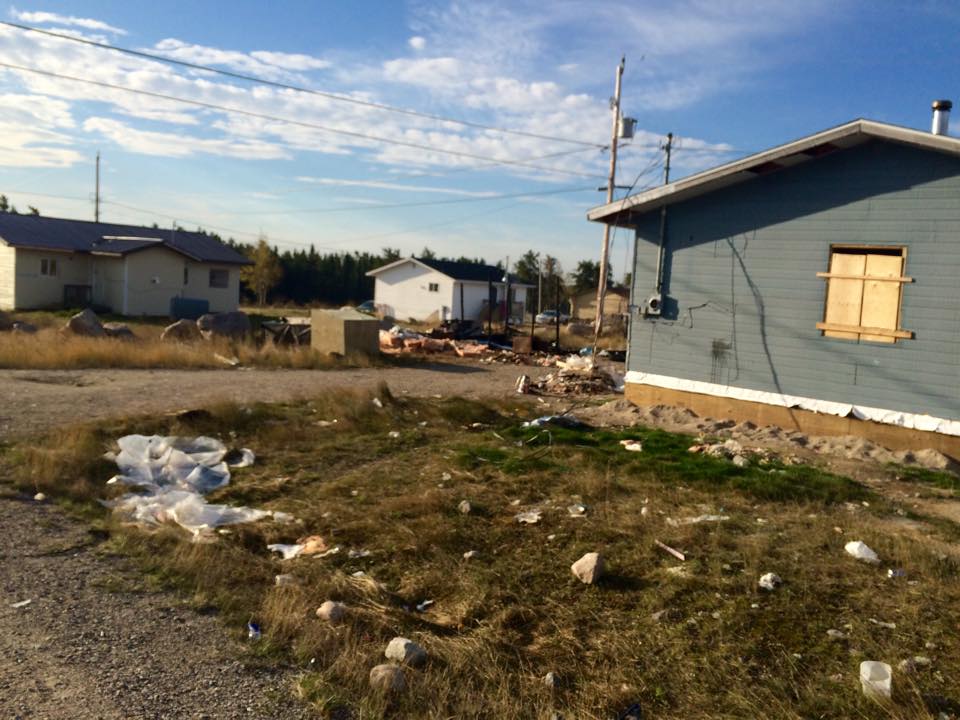
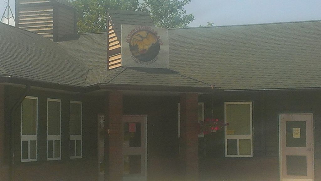
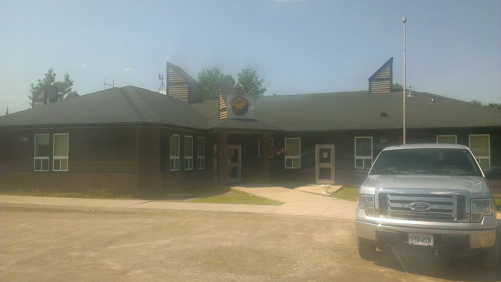
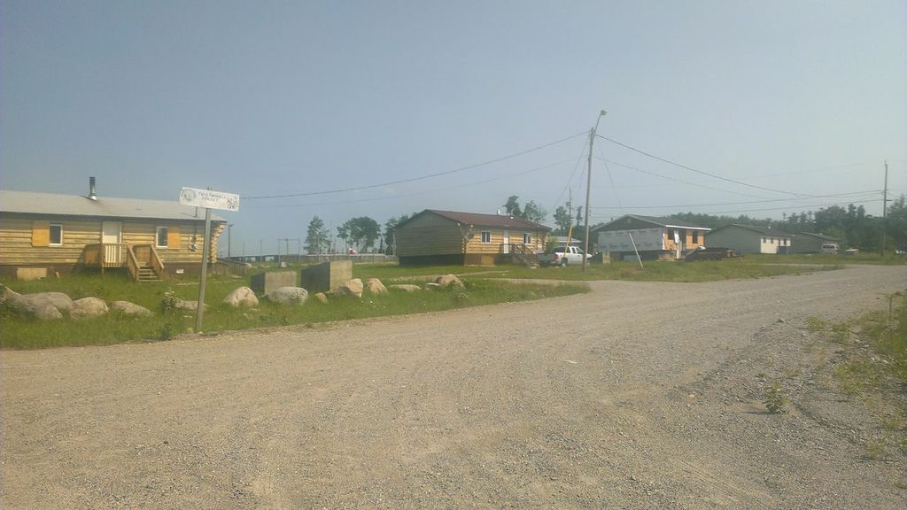
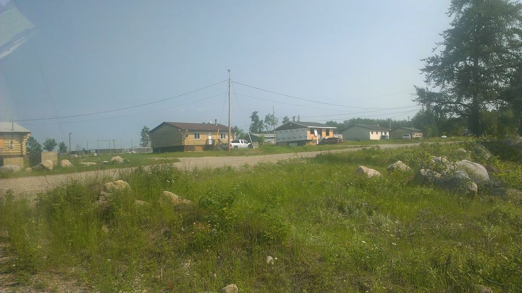
Mishkeegogamang First Nation, also known as New Osnaburgh, Osnaburgh House, Osnaburgh or “Oz” for short, is an Ojibwa First Nation. “Osnaburgh” comes from Osnaburgh House, a Hudson’s Bay Company post founded in the region in 1786. It is located on Highway 599 in the Kenora District, approximately 20 kilometres south of PickleLake. In September, 2007, its total registered population was 1,535, of which the on-reserve population was 866. Though at one time a member of the Windigo First Nations Council, Mishkeegogamang First Nation today is not part of any regional tribal councils; however, they have retained their membership with the Nishnawbe Aski Nation.
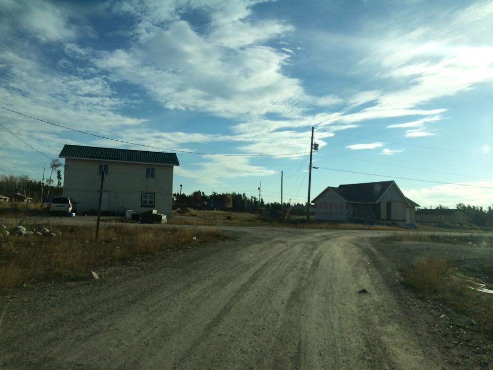
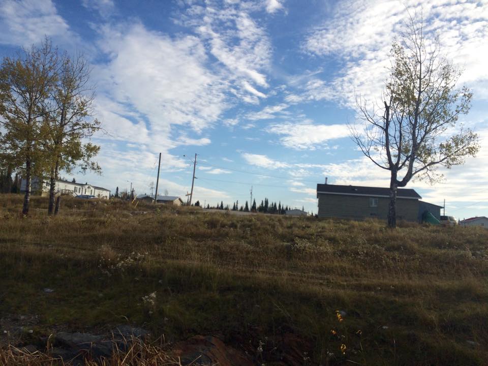
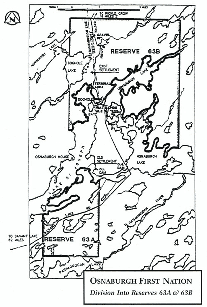
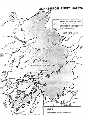
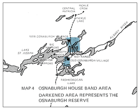
The Mishkeegogamang First Nation’s landbase consists of two reserves, the smaller 5018.6 hectares. (Osnaburgh 63A Indian Reserve) and the larger 13677.8 hectares. (Osnaburgh 63B Indian Reserve.) In addition, Oz is made up of separate and somewhat geographically disconnected communities. On their main reserve are the communities of Bottle Hill, PoplarHeights and Sandy Road. A community about 15 miles south from the reserve called Ten Houses is also associated with this First Nation. Additionally, few other small communities called Doghole Bay, Eric Lake, Ace Lake and a few others are also associated with Oz. Mishkeegogamang is policed by the Nishnawbe-Aski Police Service, an Aboriginal based service.
The traditional territory of the Mishkeegogamang Ojibway extends to the north, south, east and west, beyond the boundaries of Reserves 63A and 63B. The traditional territory is made up of the communities of the Main Reserve, Bottle Hill, PoplarHeights, Sandy Road, DogholeBay, Rat Rapids, Cedar Rapids, Ten Houses, EricLake, AceLake, Metcalfe, Pashkokogan, Mile 50, FitchieLake, Mile 42, Mile 29, Menako, and the shores of LakeSt. Joseph.
Mishkeegogamang changed back to its real name from “Osnaburgh” on November 15, 1993 by Band Council Resolution. The Sucker, Loon, Caribou, Sturgeon, and Bear clans are represented among Mishkeegogamang members. About two-thirds of the people in Mishkeegogamang speak and understand Ojibwe. The language is written in syllabics, and today it is also written using the English alphabet. Mishkeegogamang is a signatory to the James Bay Treaty No. 9.
http://en.wikipedia.org/wiki/Mishkeegogamang_First_Nation
Mishkeegogamang, also known as New Osnaburgh, Osnaburgh House or Osnaburgh, is an Ojibway reserve in the Canadian province of Ontario. It is located on Highway 599 in the Kenora District, approximately 20 kilometers south of PickleLake. Os is made up of separate and somewhat geographically disconnected communities. There is the main reserve with Bottle Hill, PoplarHeights and Sandy Road being attached. A community about 15 miles south called Ten Houses. And a few other small communities called DogholeBay, EricLake, AceLake and a few others.
http://mishkeegogamangfirstnation.myknet.org/
Mishkeegogamang and its People
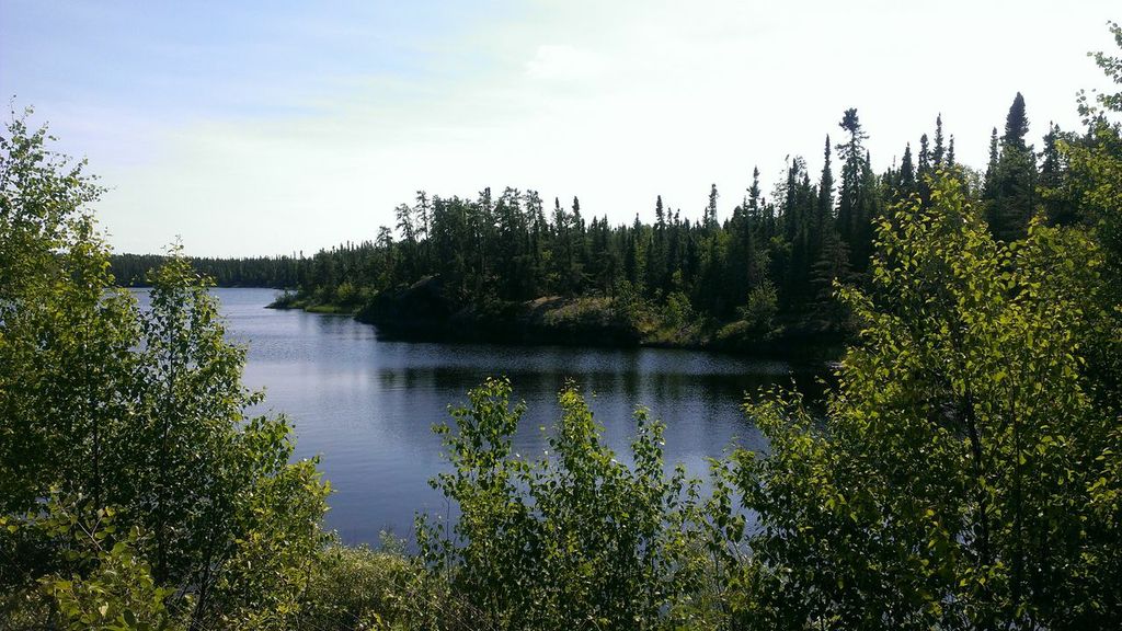
The people of Mishkeegogamang Ojibway Nation live in northwestern Ontario, around the area where the Albany River meets LakeSt. Joseph. Today, just over 900 people live on its two reserves, while about 500 live off the reserve, either on CrownLand or in other communities.
The traditional territory of the Mishkeegogamang Ojibway extends to the north, south, east and west, beyond the boundaries of Reserves 63A and 63B. The traditional territory is made up of the communities of the Main Reserve, Bottle Hill, PoplarHeights, Sandy Road, DogholeBay, Rat Rapids, Cedar Rapids, Ten Houses, EricLake, AceLake, Metcalfe, Pashkokogan, Mile 50, FitchieLake, Mile 42, Mile 29, Menako, and the shores of LakeSt. Joseph.
Mishkeegogamang changed back to its real name from “Osnaburgh” on November 15, 1993 by Band Council Resolution.
The Sucker, Loon, Caribou, Sturgeon, and Bear clans are represented among Mishkeegogamang members.
About two-thirds of the people in Mishkeegogamang speak and understand Ojibwe. The language is written in syllabics, and today it is also written using the English alphabet.
Mishkeegogamang is a signatory to the James Bay Treaty No. 9. For more on the treaty,
http://www.mishkeegogamang.ca/about.html
VIDEOS OF THE COMMUNITY
Journey to OZ 2009- Chief Connie is on this one
Grade 4 class singing “Love” 2009
Traveling the highway between Oz and Pickle Lake
Teacher talking about the school 2010

Interact with us using Facebook