


Getting to know Hwy 502 NW Ontario…Manitou Road
Getting to know Hwy 502 NW Ontario…Manitou Road.
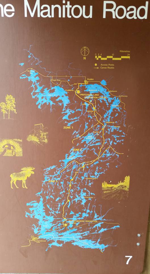
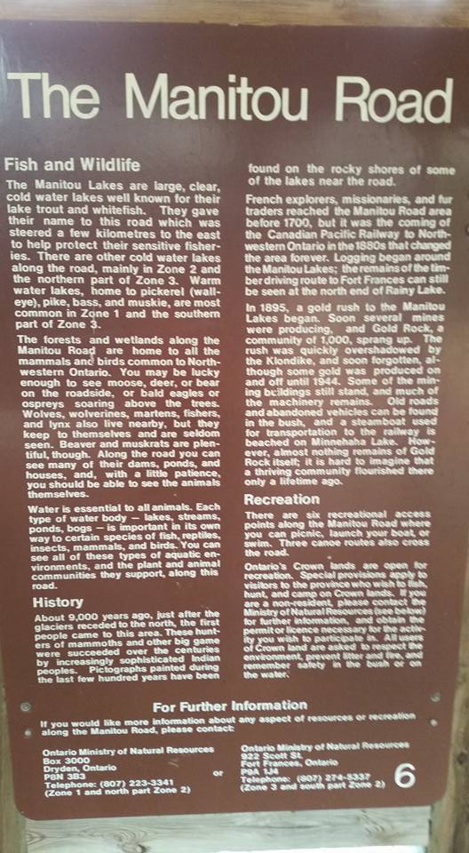
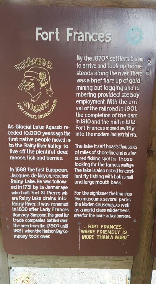
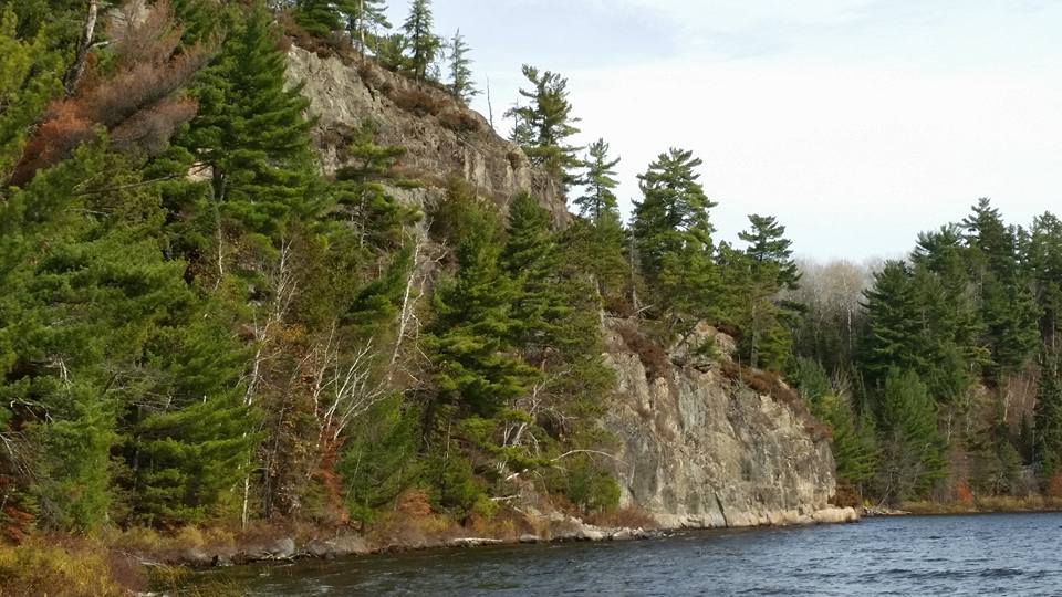
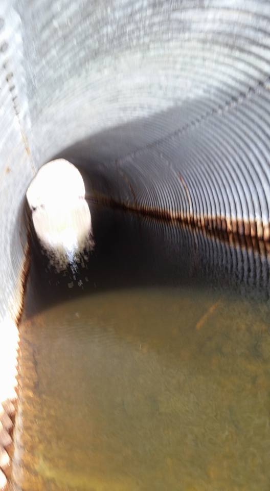
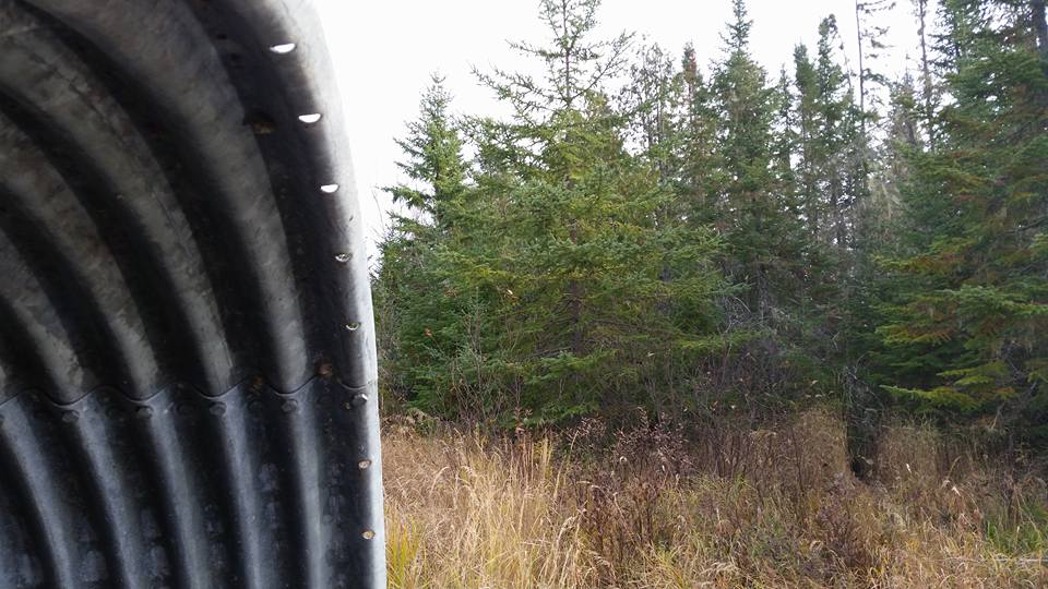
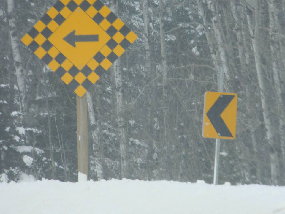
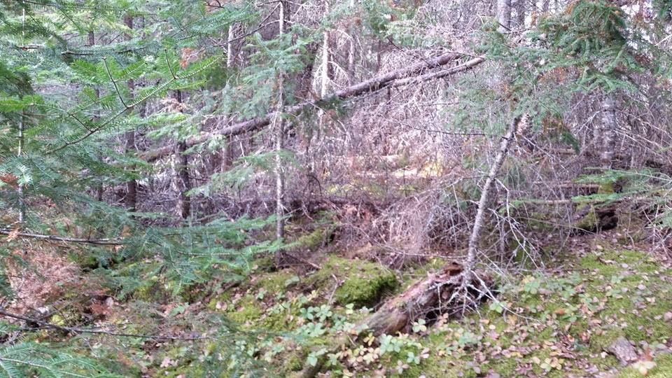
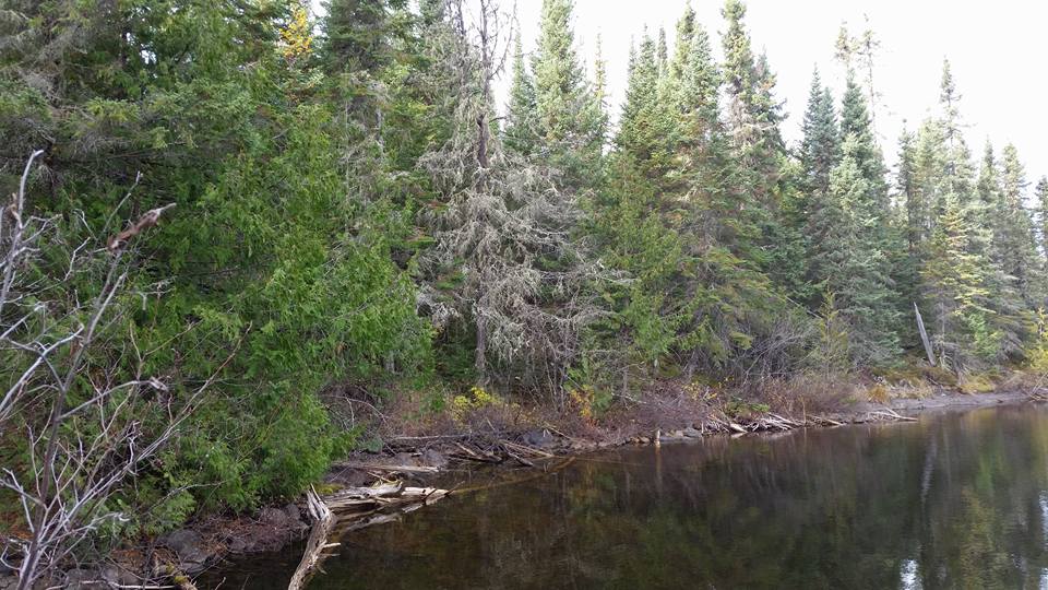
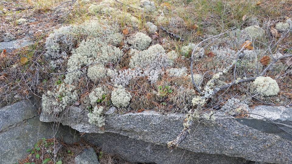
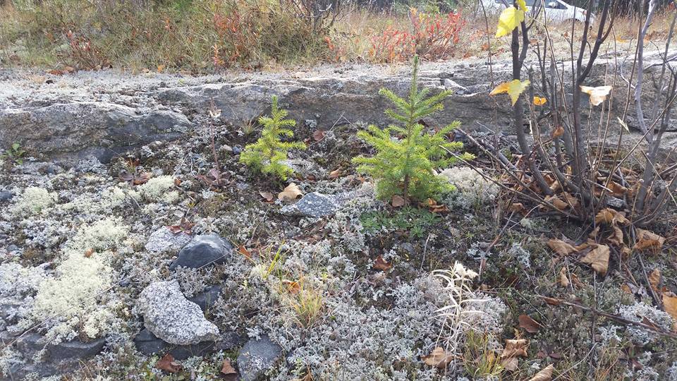
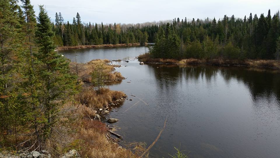
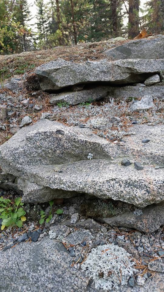
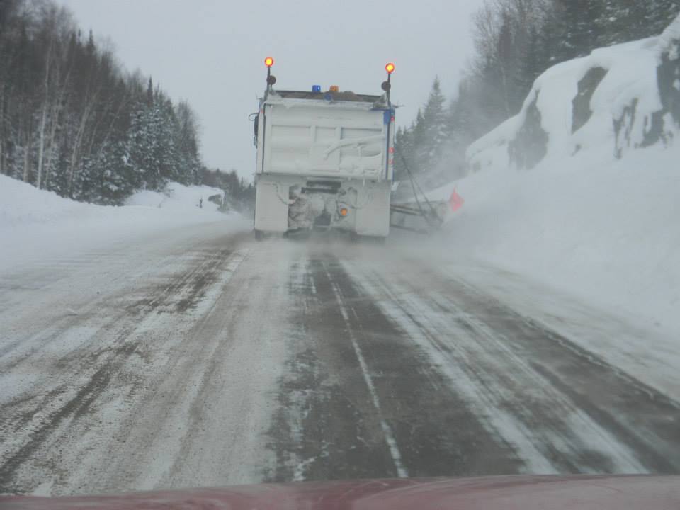
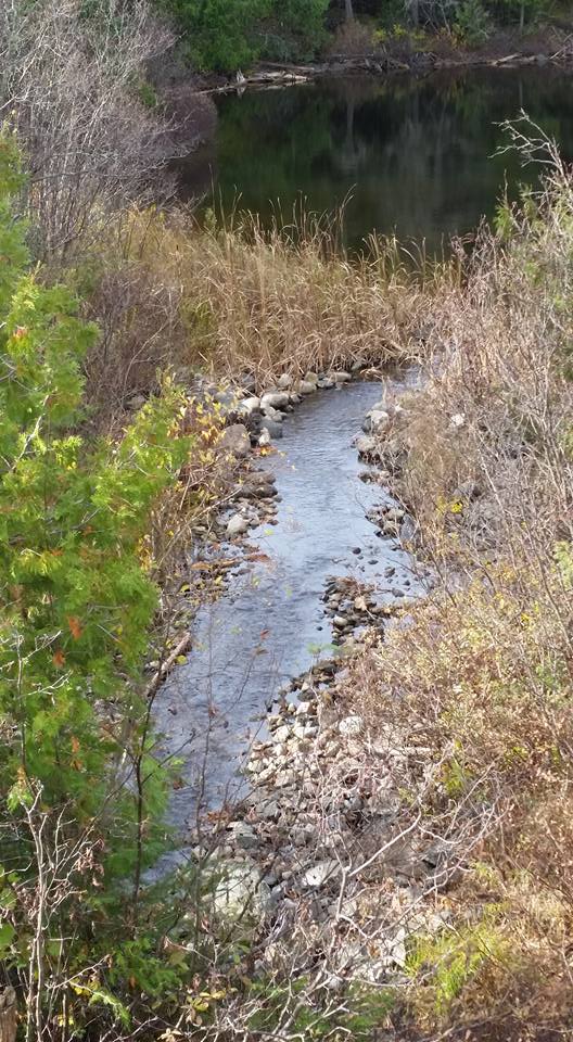
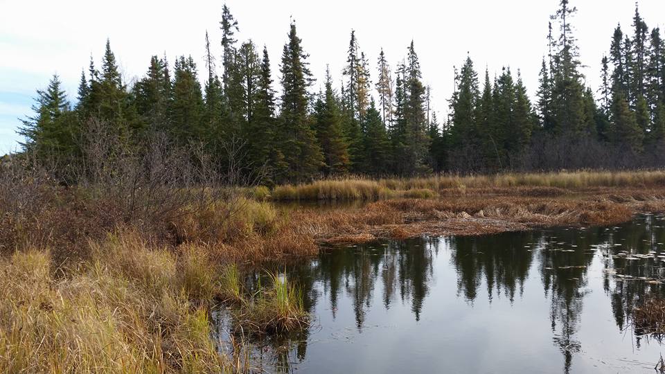
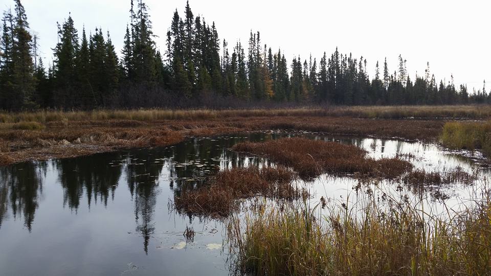
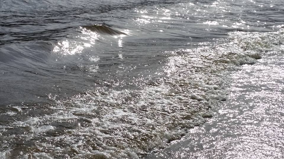
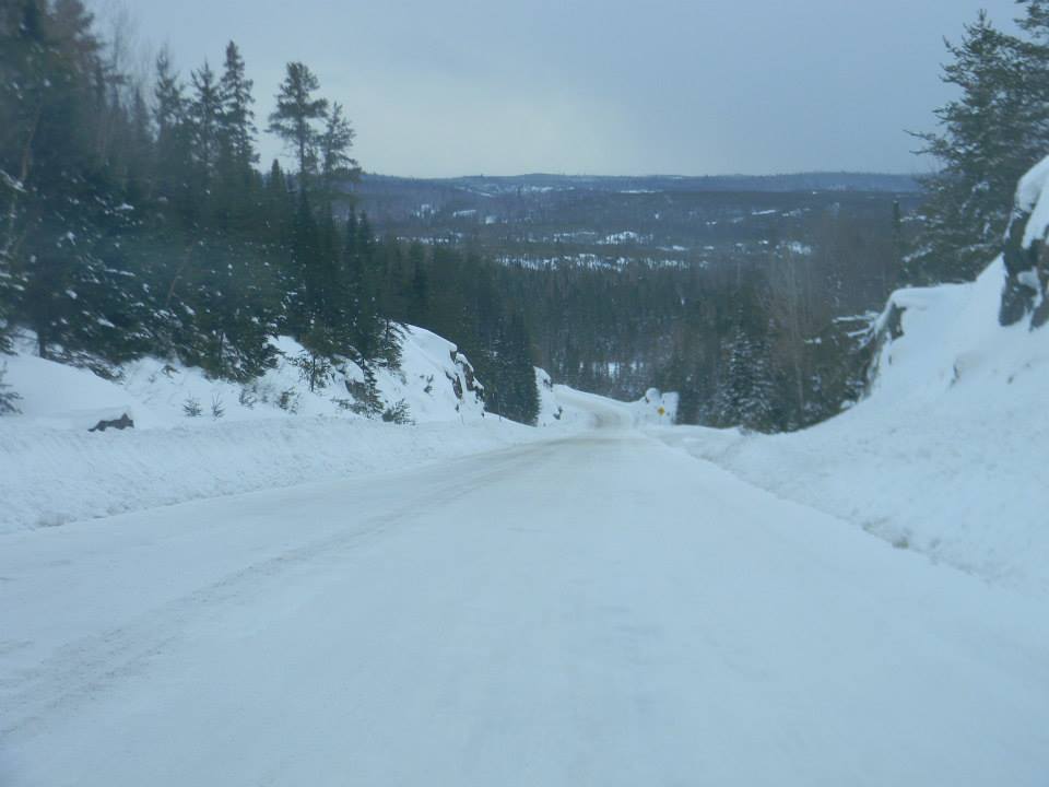
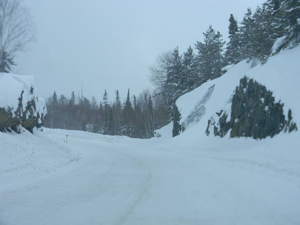
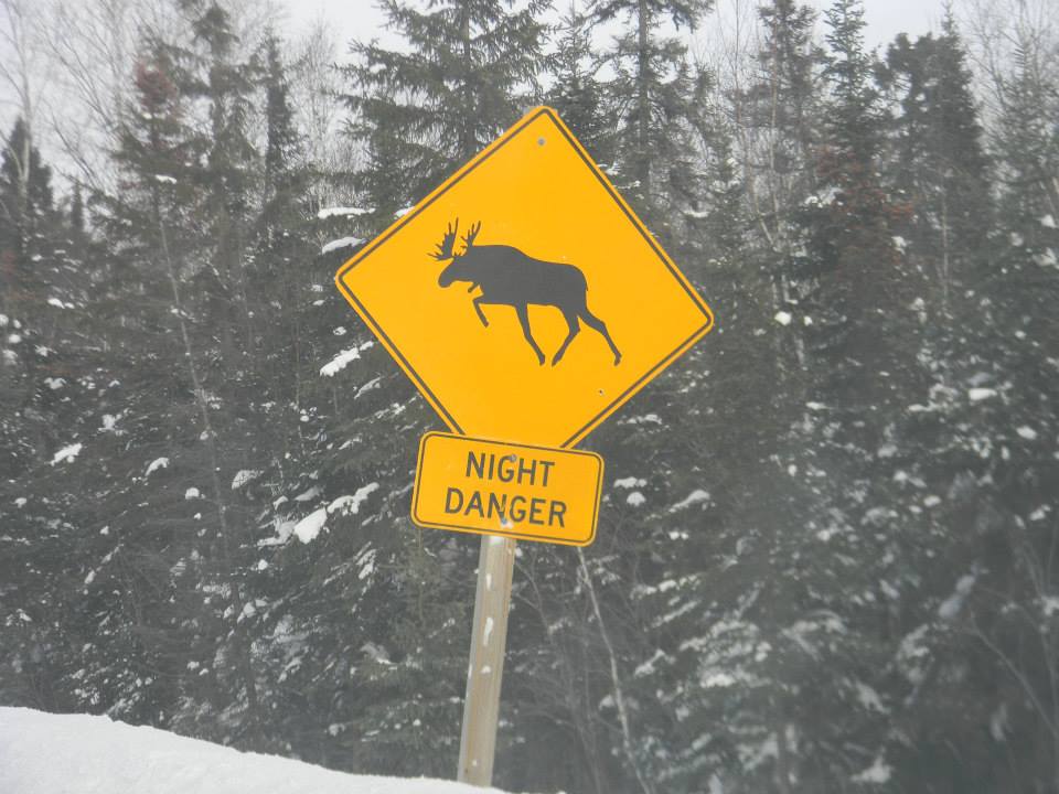
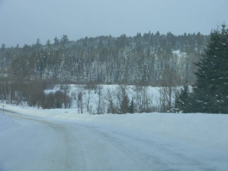
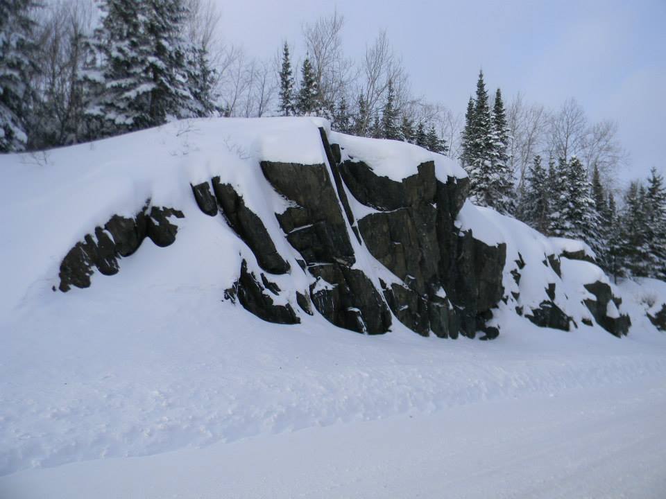
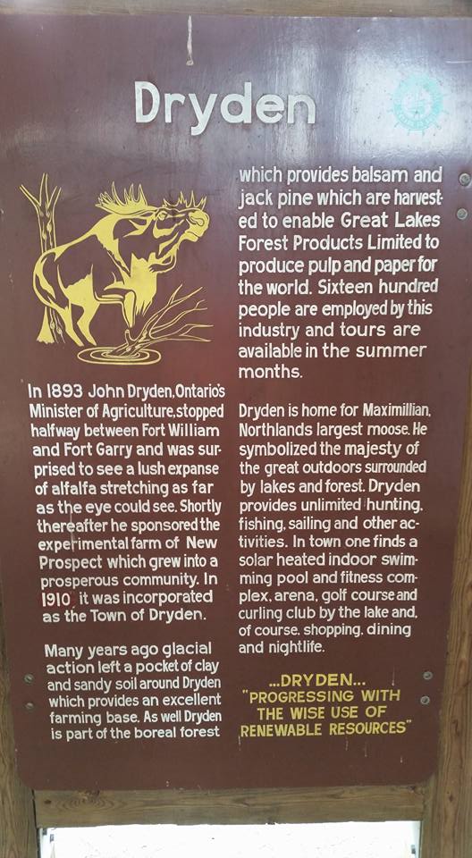
I have made several trips to Sioux Lookout Ontario. Most of the trips involved the 90 mile trip along the lovely Manitou Road, of Hwy 502. I used to just drive straight through the road. But this last October 2015 I took my time, stopping five times to enjoy nature. I searched for rocks, listened to the sounds of nature and trucks, and look at lake side vistas. What a treat it was! I realize that I can take other roads on my journeys north in the future. The following pictures are from the summer and winter. The signs are at a way-side-stop where travelers can read about the area.
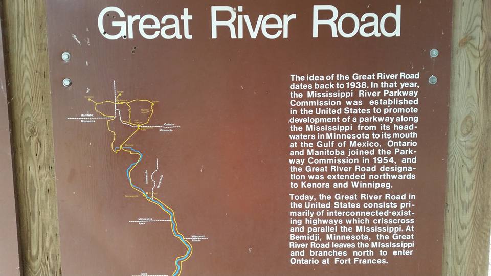
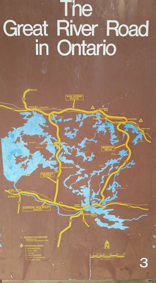
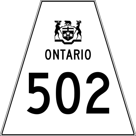
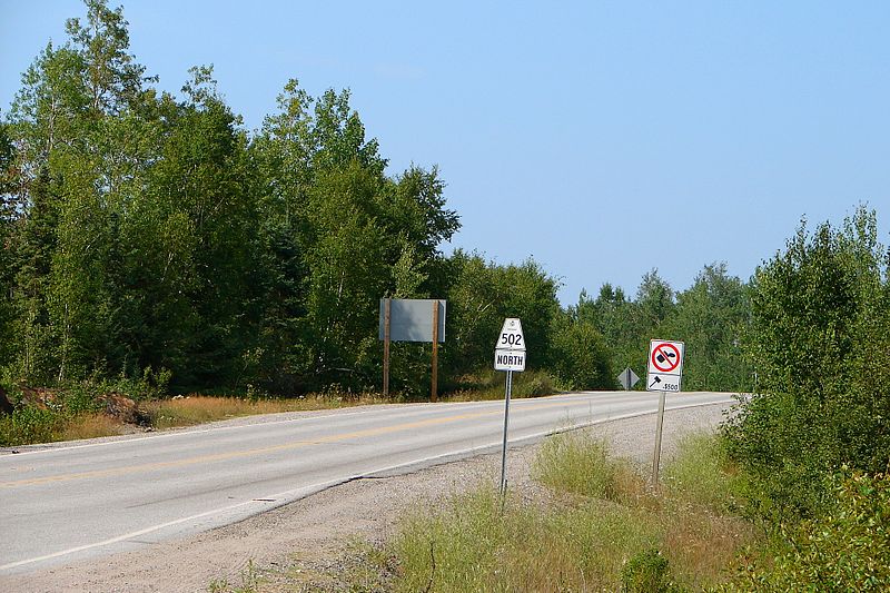
Secondary Highway 502, commonly referred to as Highway 502, is a provincially maintained secondary highway in the Canadian province of Ontario. The highway is 151.7 kilometres (94.3 mi) long, connecting Highway 11 east of Fort Frances with Highway 17 in Dryden, via Highway 594. It also carries the Great River Road designation.
The route was constructed throughout the mid- to late 1970s as a new connection between Highway 11 and Highway 17, known as the Manitou Road. It opened in 1980. Another Highway 502 existed between 1956 and 1973, a short alternative route to Highway 2 near Napanee.
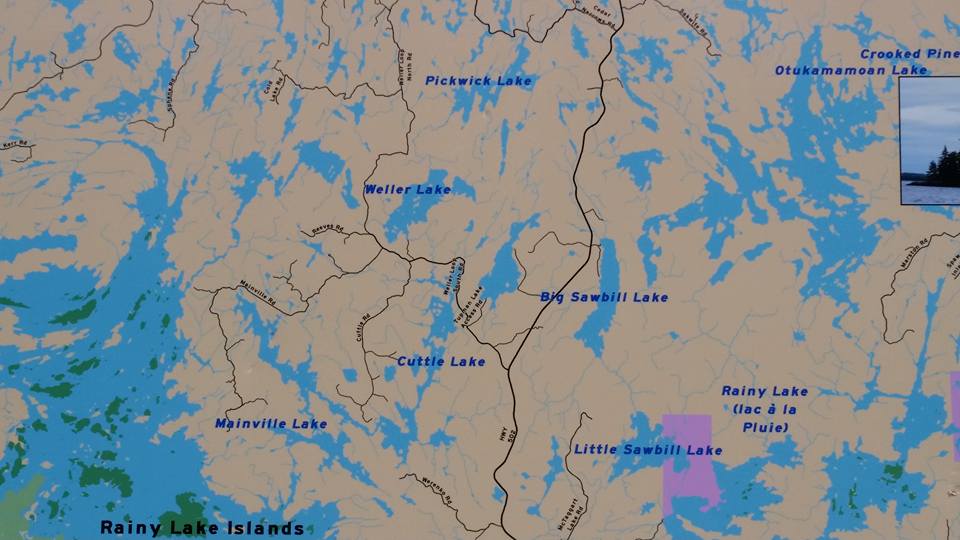
Highway 502 begins at a junction with Highway 11 approximately 30 kilometres (19 mi) east of Fort Frances. It progresses north through an isolated region dominated by the forests, exposed bedrock, rivers, numerous lakes, muskeg and mountains of the Canadian Shield, encountering no communities or significant roads along its 151.7-kilometre (94.3 mi) route; it does provide access to numerous logging and mineral access roads. Highway 502 ends at a junction with Highway 594 approximately 6 kilometres (3.7 mi) west of Dryden and 8 kilometres (5.0 mi) west of Highway 17.
In 1972, planning began for a new route between Highway 11 near Fort Frances and Highway 17 near Dryden. The existing Highway 812 extended north from Highway 11 for approximately 50 kilometres (30 mi), and so work began to extend it north the remaining 100 kilometres (62 mi). During construction, the route was referred to as the Manitou Road. It was completed in the fall of 1980 and designated Highway 502.
https://en.wikipedia.org/wiki/Ontario_Highway_502

Interact with us using Facebook