


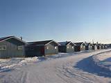
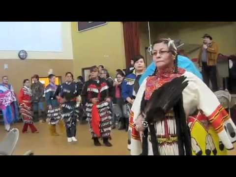
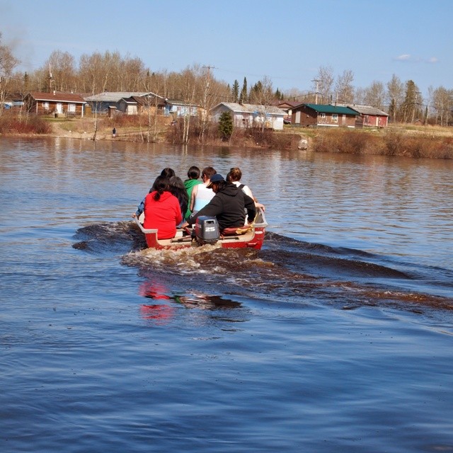
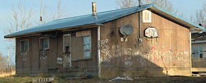
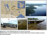
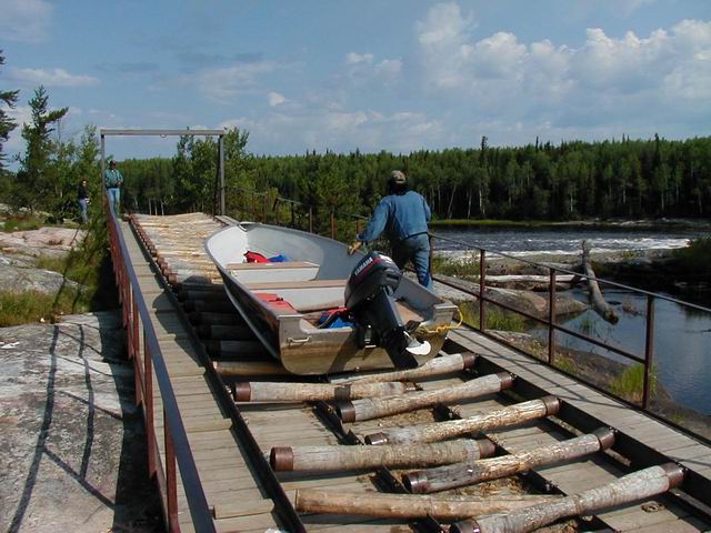
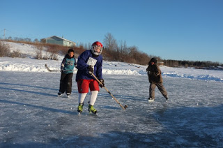
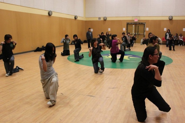
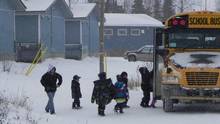
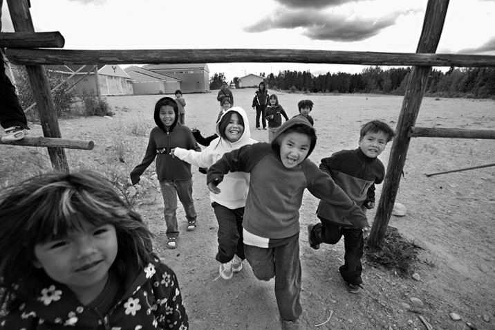
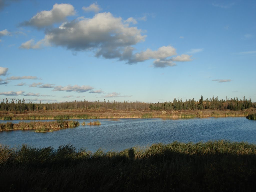
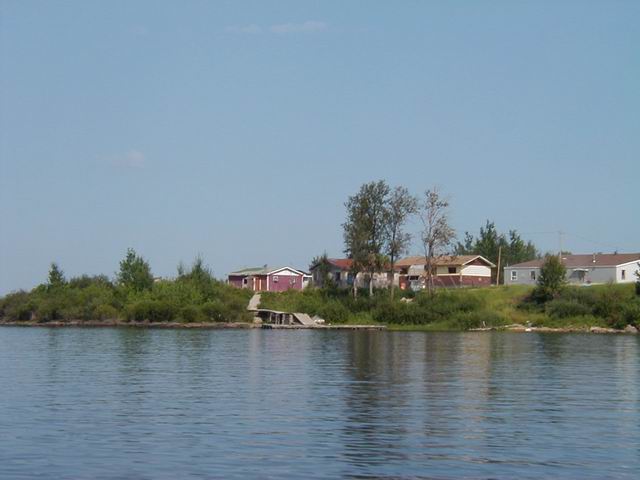
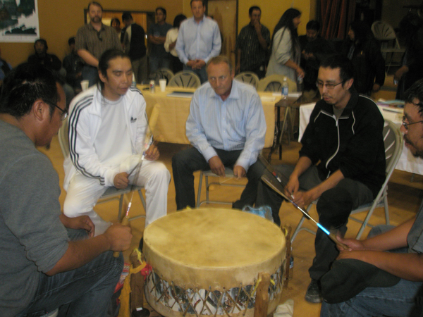
Pictures of the Pikangikum NW Ontario
Pictures of the Pikangikum NW Ontario.
Link to the communities main page
Link to main page for Pikangikum
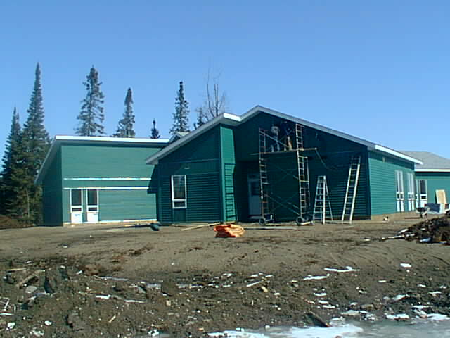
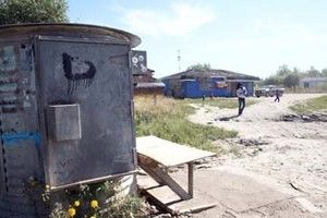
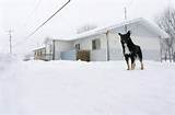
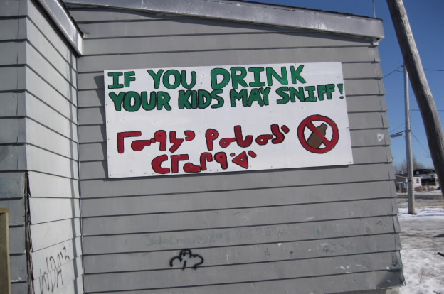
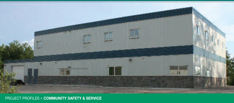
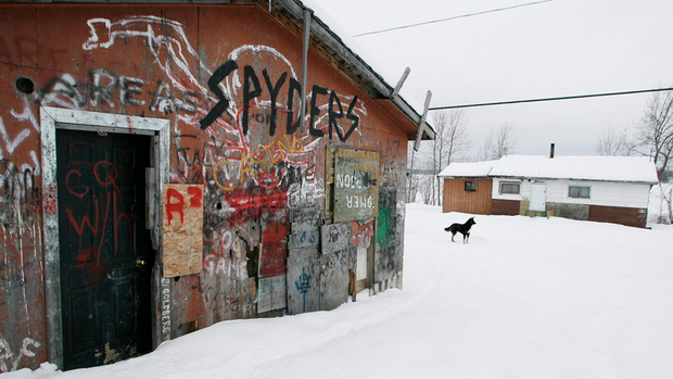
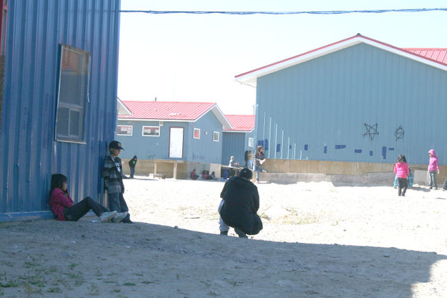
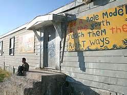
Link to housing problems at Pikangikum
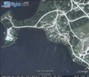
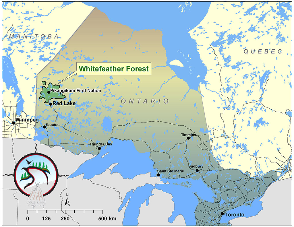
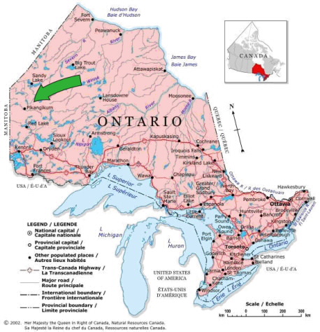
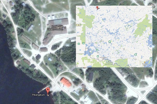
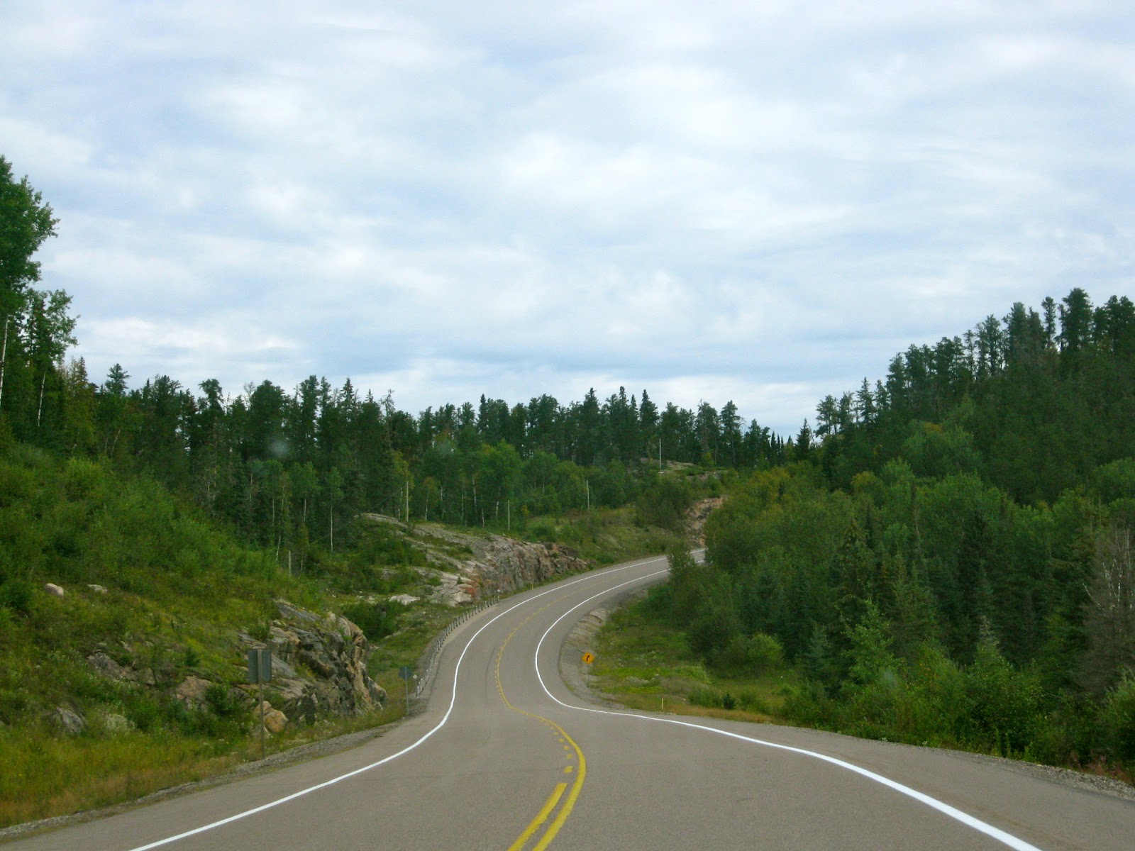
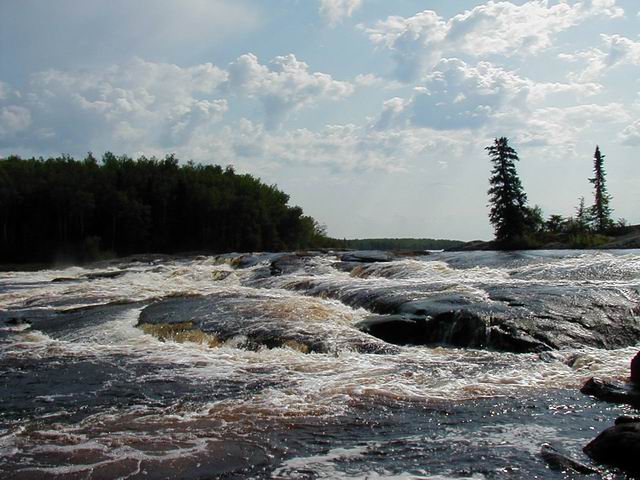
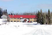
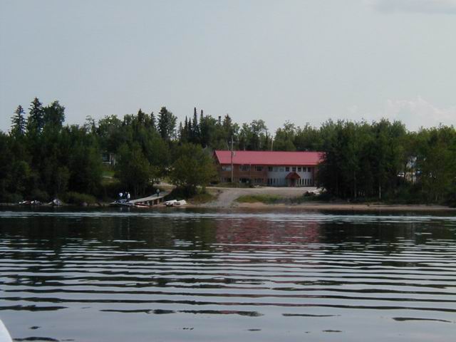
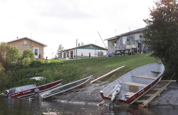
The Pikangikum First Nation. (Bigaanjigamiing Bemaadiziwaaj; locally: Beekahncheekahmeeng Paymahteeseewahch) is an Ojibwe First Nation located on the 1,808-hectare (4,470-acre) Pikangikum 14 Reserve, in Unorganized Kenora District in Northwestern Ontario, Canada. The main centre is the community of Pikangikum, on Pikangikum Lake on the Berens River, part of the Hudson Bay drainage system; it is approximately 100 kilometres (60 mi) north of the town of Red Lake.
The community has a registered population as of September 2011 of 2,443, of whom 2,334 live on the reserve.


![]()


Interact with us using Facebook